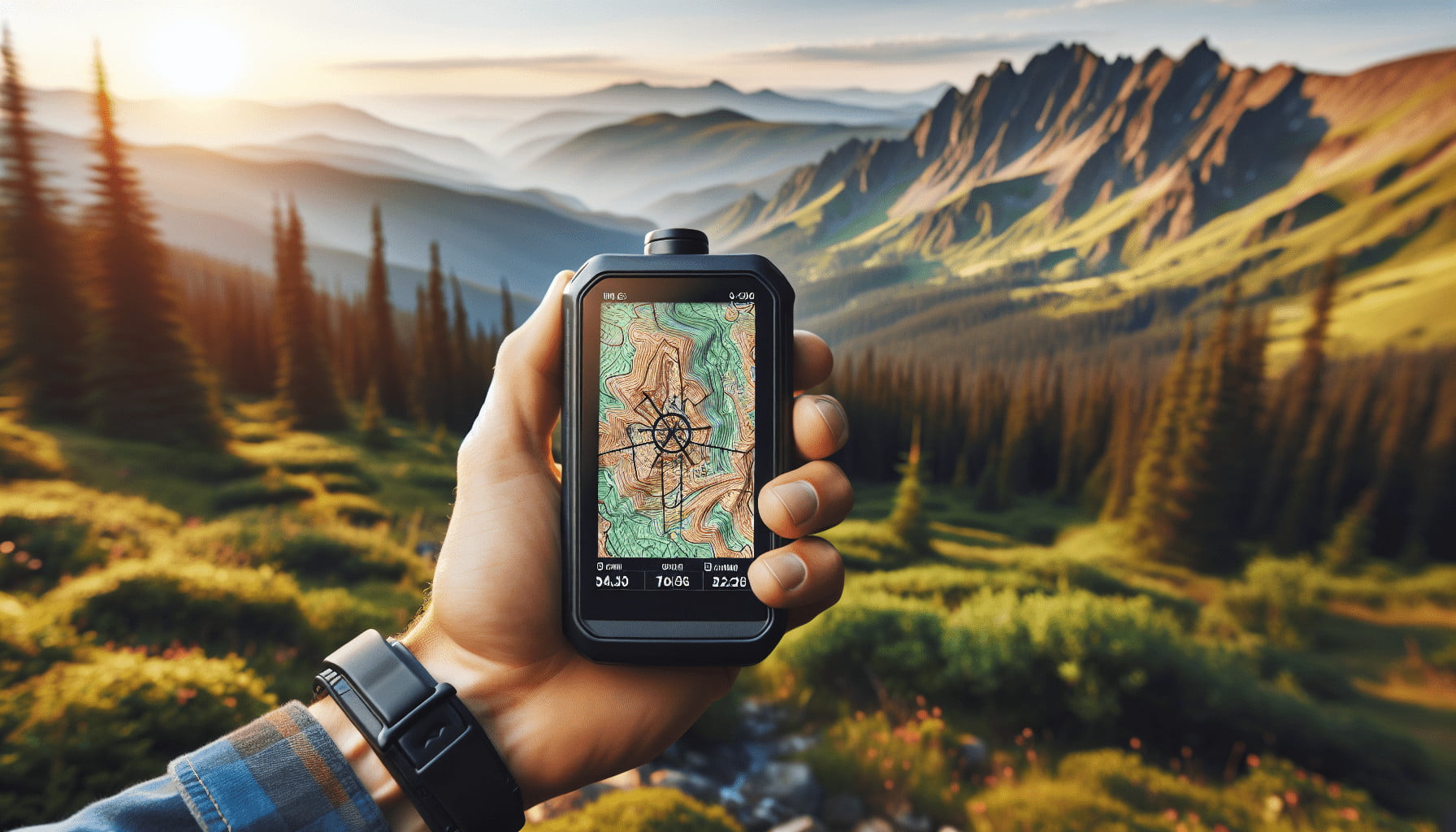
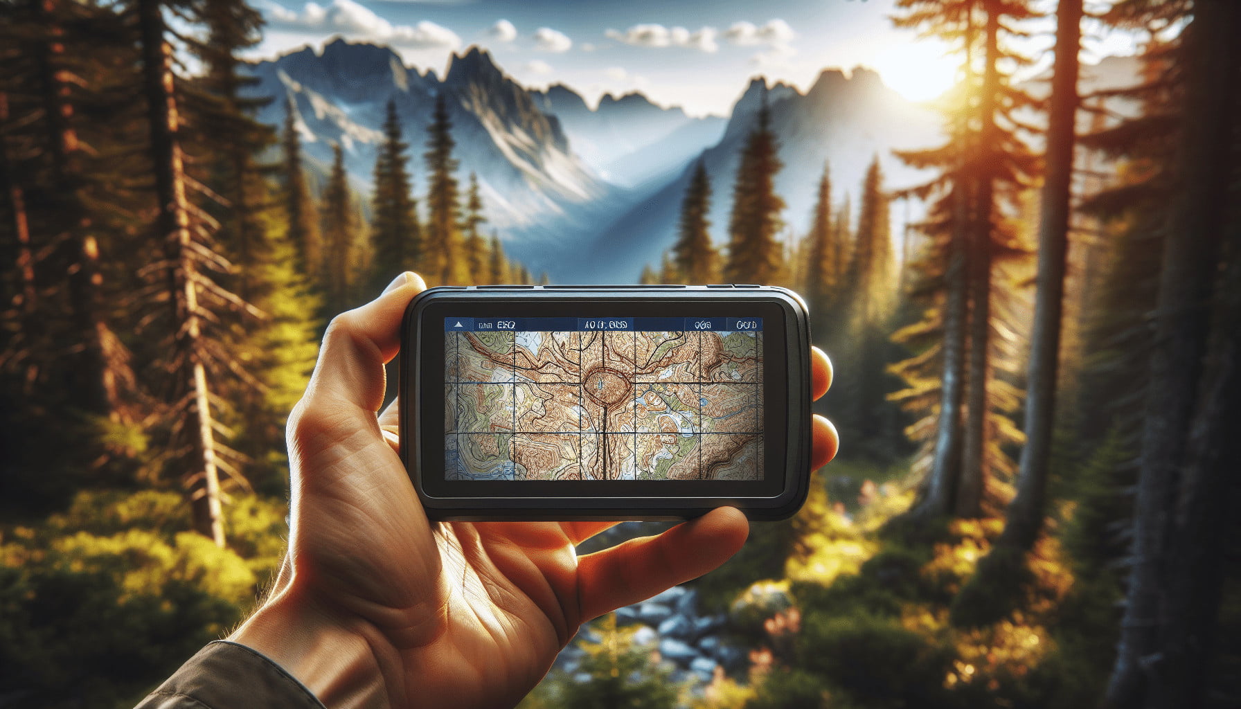
Have you ever found yourself lost in the vast expanses of wilderness, unsure of which direction to take? In today’s technologically advanced world, a Global Positioning System (GPS) can be your lifeline when navigating through uncharted territory. With the increase in outdoor activities and the growing popularity of adventure tourism, the ability to utilize GPS effectively is more important than ever. However, the reliance on GPS technology requires not just ownership but also an understanding of its proper use to ensure safety and accuracy during your expeditions.
This article aims to provide you with essential tips for properly using a GPS for wilderness navigation. By equipping yourself with the right knowledge, you can ensure that your time spent in nature is both enjoyable and secure. We will walk through key strategies, basic functionalities, and advanced techniques to help you maximize the utility of your GPS device.

Understanding the Basics of GPS
What is GPS?
GPS, or Global Positioning System, is a satellite-based navigation system that provides location and time information in all weather conditions, anywhere on or near the Earth. It is maintained by the United States government and is freely accessible to anyone with a GPS receiver. Your device communicates with a network of satellites, allowing it to triangulate your position with impressive accuracy.
How Does GPS Work?
A GPS device calculates your exact location by analyzing the signals sent by multiple satellites. The satellites transmit signals continuously, and the device compares the time it took for each signal to arrive. By calculating the difference in timing from at least four satellites, your GPS can pinpoint your 3D location (latitude, longitude, and altitude).
Essential Preparation Before Using GPS
Updating Maps and Software
Before venturing out, ensure that your GPS device’s maps and software are up to date. Manufacturers regularly release updates that can include critical information such as newly built trails, roads, or fixes to existing data points.
Steps for Updating GPS Maps:
| Step | Action |
|---|---|
| 1 | Connect your GPS device to your computer. |
| 2 | Visit the manufacturer’s website or use the provided software. |
| 3 | Follow the instructions to download and install the latest maps and updates. |
Carrying Extra Batteries or Power Bank
One of the worst scenarios is your GPS running out of power in the middle of your journey. Always carry extra batteries or a reliable power bank to ensure your device remains functional throughout the trip.
Pre-Trip Planning
Mark waypoints and routes before your journey begins. A waypoint is a specific location you can pinpoint and save on your GPS, making it easier to navigate. Planning your route in advance allows you to focus on the experience rather than the logistics once you’re out in the field.
Understanding GPS Functions and Settings
Waypoints, Routes, and Tracks
- Waypoints: Saved coordinates marking specific locations.
- Routes: A series of waypoints that outline a path from start to finish.
- Tracks: A record of your movement, often useful for backtracking.
Configuring the Settings
Make sure your GPS settings are configured correctly for wilderness navigation:
- Units: Ensure units are set to your preference (e.g., kilometers/miles).
- Coordinate System: Use the coordinate system that matches your maps (usually UTM or Lat/Long).
- Compass calibration: Calibrate your device’s compass to ensure accurate readings.
Practical GPS Navigation Techniques
Marking and Using Waypoints
Always mark key locations as waypoints, including:
- Trailheads
- Campsites
- Water sources
- Emergency exit points
These waypoints will serve as critical reference points during your journey.
Following a Route
After planning your route, upload it to your GPS. Follow the route by keeping an eye on your current position relative to the planned path. Ensure you regularly check your progress to avoid deviation from the route.
Recording Tracks
Track recording can be invaluable for both real-time navigation and post-trip review. Make sure you’re familiar with how to start, pause, and stop the track recording function on your device.

Advanced GPS Techniques
Geocaching
Geocaching is an outdoor recreational activity where participants use GPS to hide and seek containers, called “geocaches” or “caches,” at specific locations marked by coordinates. It’s a fun way to practice your GPS skills while adding an element of treasure hunting to your wilderness adventure.
Using Topographic Maps Alongside GPS
While GPS devices are incredibly accurate, having a topographic map and understanding how to read it can be a lifesaver. Topographic maps provide a detailed representation of the terrain, including elevation changes, which can offer critical insights that GPS screens may lack.
Utilizing GPS Data Software
Various software applications can enhance your GPS experience through features like:
- Analyzing tracks and routes post-trip: Apps like Garmin BaseCamp or Google Earth allow you to review your journey and make notes for future reference.
- Map customization: Tailoring maps to include specific waypoints and landmarks.
Safety Considerations
Double-Checking Coordinates
Always double-check your coordinates before setting off and when marking important waypoints. A small error can lead to significant navigation mistakes that could jeopardize your safety.
Backup Navigation Methods
Never rely solely on your GPS. Always carry a traditional compass and a topographic map as backups. Knowing how to use these tools is essential in case your GPS fails, runs out of battery, or loses satellite reception.
Sticking to Established Paths
Whenever possible, stick to established paths and trails. Venturing too far off the beaten path can make it easier to get lost and harder to find help in case of emergency.
Troubleshooting Common GPS Issues
Loss of Signal
Signal loss can occur due to heavy tree cover, deep canyons, or adverse weather conditions. If you lose a signal:
- Move to an open area.
- Elevate your device by holding it up.
- Wait a few moments for the device to reestablish a connection with the satellites.
Inaccurate Location Data
If your GPS begins showing inaccurate data, recalibrate the device’s compass and ensure the software is up-to-date. If the problem persists, restart the device.
Battery Life Concerns
To extend battery life:
- Reduce screen brightness.
- Limit unnecessary functions such as Bluetooth or WiFi.
- Use power-saving modes if available.
Conclusion
Mastering the use of a GPS device for wilderness navigation is an invaluable skill that can greatly enhance your outdoor adventures. From understanding basic functionalities to applying advanced techniques, each element plays a crucial role in ensuring your safety and enjoyment. Remember to prepare thoroughly before your journey, understand your device’s capabilities, and always have backup navigation methods at hand. By following these essential tips, you can navigate the wilderness with confidence and peace of mind.
Meta Description
Learn essential tips for properly using a GPS for wilderness navigation. Understand basic functions, advanced techniques, and safety considerations to enhance your outdoor adventures.
