Navigating through the wilderness requires adept skills, critical thinking, and a deep understanding of the natural environment. “Wilderness Navigation: Using Terrain Association for Wayfinding” is a comprehensive guide designed to enhance your proficiency in traversing unfamiliar terrain. By mastering terrain association, you can rely on the natural features around you—such as rivers, mountains, and forest boundaries—to pinpoint your location and chart a reliable course. Whether you are a seasoned adventurer or a novice explorer, this skill is indispensable for ensuring safety and efficiency in the great outdoors.
In today’s world, where GPS technology often takes precedence, the timeless art of using terrain association for navigation remains a vital skill. This article provides you with practical techniques and essential tips to hone your wayfinding abilities without relying solely on electronic devices. With increasing interest in outdoor activities and a growing awareness of the importance of self-sufficiency, learning how to use the natural landscape to navigate is both relevant and timely. Prepare yourself to gain invaluable insights and elevate your wilderness navigation skills to new heights. Have you ever wondered how you would find your way if you were deep within the wilderness, far removed from the conveniences of modern navigation systems? Understanding the principles of wilderness navigation, particularly terrain association for wayfinding, is not just a valuable skill but an essential one for anyone venturing into the great outdoors.
With technology giving us the illusion of continuous connection and reliability, it’s easy to forget that gadgets can fail, batteries can die, and service can become nonexistent. True navigation skills, especially terrain association, ensure that you remain oriented and safe in an environment where nature holds the upper hand.

Importance of Wilderness Navigation
Navigating through wilderness areas demands a heightened understanding of your surroundings. Unlike urban environments, there are no street signs or clearly marked routes. Here, it’s nature’s topographical features that become your guideposts, and having the skill to interpret these features correctly can mean the difference between an enjoyable adventure and a harrowing ordeal. Terrain association allows you to read and interpret the landscape, making informed decisions that lead you safely and efficiently to your destination.
What is Terrain Association?
Definition and Concept
Terrain association is the practice of navigating by using the natural features of the land. This technique involves recognizing and interpreting things like hills, valleys, streams, and ridges in relation to a map or from memory. Unlike compass-based navigation, where direction is key, terrain association relies on your ability to identify and correlate physical landmarks with your mental or mapped image of the area.
Benefits of Terrain Association
Utilizing terrain association has several advantages. It:
- Enhances Situational Awareness: Keeps you mindful of your environment.
- Reduces Dependency on Technology: No batteries required.
- Enables Better Decision-Making: Helps in planning routes and identifying potential hazards.
- Improves Safety: Knowledge of the land can lead to quicker emergency exits if required.
Tools and Resources for Terrain Association
Topographical Maps
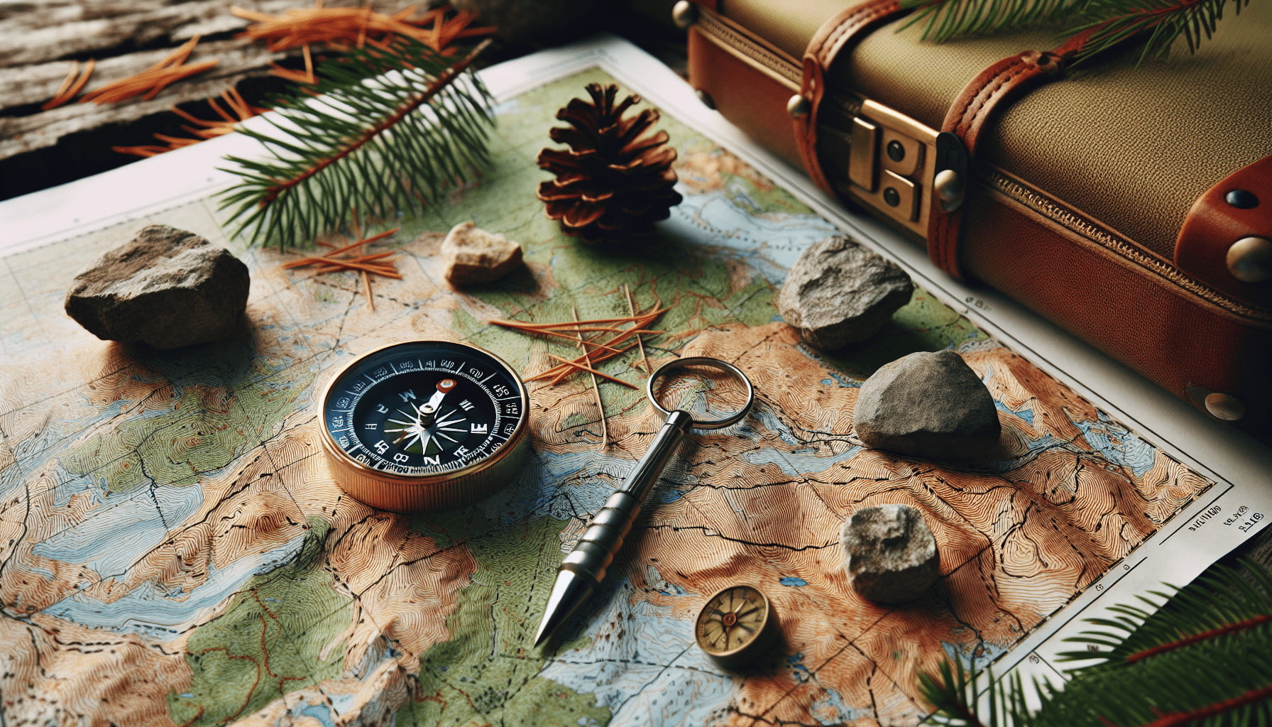
One of the most crucial tools for terrain association is the topographical map. These maps illustrate the terrain using contour lines to depict elevation changes, making it easier to visualize hills, valleys, and flat areas.
| Feature | Description |
|---|---|
| Contour Lines | Lines that connect points of identical elevation. |
| Index Contours | Bold contour lines used for reference on maps. |
| Elevation | Height above sea level, marked in intervals. |
| Relief | Difference between high and low elevation areas. |
Compass & Altimeter
Always carry a reliable compass and an altimeter to assist in ensuring your terrain interpretations are accurate. A compass aids in maintaining your bearing while an altimeter helps verify elevation, which can be cross-referenced with your map.
GPS Units (Backup)
Even though the primary focus is on non-technological navigation, having a GPS unit as a secondary resource can be useful. Ensure it’s equipped with topographical maps for cross-referencing purposes.
Basic Principles of Terrain Association
Recognizing Landmarks
Familiarize yourself with key landmarks—both obvious and subtle:
- Mountains and Hilltops: Visible from afar, useful for long-range navigation.
- Ridges and Spurs: Ridges often lead to hilltops, while spurs are smaller offshoots.
- Valleys and Hollows: These lower areas can guide you along certain paths.
- Water Features: Rivers, lakes, and streams can serve as natural highways through the wilderness.
Relating Map to Terrain
Develop the skill to convert the 2D map into a 3D mental model of the terrain. Practice by:
- Identifying contour patterns on the map and matching them to your observation.
- Using your map’s scale to estimate distances and compare with visual estimates.
- Regularly reorienting the map to ensure it aligns with the terrain as you traverse.
Route Planning
Effective route planning involves marking your start point, potential landmarks, waypoints, and your destination. This reduces the likelihood of getting lost and provides clear checkpoints for reassessment. Consider the following:
- Elevation Changes: Plan routes that follow elevation contours to minimize energy usage.
- Obstacle Avoidance: Identify and navigate around potential hazards like cliffs or dense foliage.
- Distance and Time: Calculate travel distances and estimated time required, factoring in breaks and unexpected delays.

Advanced Techniques in Terrain Association
Handrails and Backstops
These are natural or man-made features that provide additional navigational guidance:
- Handrails: Linear features like rivers or ridges that you can follow, guiding you along a particular route.
- Backstops: Features behind your intended path, alerting you if you’ve traveled too far (e.g., a distinctive mountain, a road).
Collecting Features
Monitor specific natural features that confirm progress along your path. This practice involves:
- Noting landmarks that signal you’re on the right track.
- Continuously comparing these features with your map.
Aiming Off
When traversing to a point on the other side of an obstacle (like a dense forest or a body of water), intentionally aim to one side of it. This ensures that once past the obstacle, you know which direction to adjust to reach the specific point.
Practical Exercises to Sharpen Terrain Association Skills
To become proficient in terrain association, practice is essential. Here’s a structured approach:
- Start Small: Begin in familiar terrain with a topographical map. Attempt to navigate short distances using terrain features.
- Field Practice: Progress to more challenging environments. Try longer routes that require more navigation skills.
- Night Navigation: Practice navigating at dusk or dawn when landmarks are less visible, sharpening your reliance on the map and terrain correlation.
- Debriefing: After each exercise, review your route, discuss errors, and note areas for improvement.
Problem-Solving in the Wilderness
What to Do If You Get Lost
Staying calm is the first and most crucial step. Then:
- Stop and Assess: Halt your movement and assess the situation.
- Re-orient Yourself: Use your map, compass, and the terrain around you to determine your location.
- Backtrack: If the terrain and conditions allow, retrace your steps to a known point.
- Signal for Help: Use a whistle, mirror, or other signaling device to attract attention if required.
Handling Inclement Weather
Weather conditions can dramatically alter the landscape, making navigation difficult. Adapting involves:
- Proper Gear: Ensure you have weather-appropriate clothing and shelter.
- Weather Forecasts: Always check weather forecasts before heading out and monitor changes.
- Route Flexibility: Be ready to alter your route or return if conditions become hazardous.
Emergency Situations
Emergencies may arise despite the best preparations. Know how to:
- Use a Satellite Phone or Locator Beacon: These devices can be lifesavers when out of cell phone range.
- First Aid Skills: Keep a well-stocked first-aid kit and know how to use it.
- Emergency Navigation: Have contingency plans for quick exits or finding shelters.
Case Studies: Real-World Applications
Case Study 1: Appalachian Trail Hiker
A seasoned hiker navigated the complex terrain of the Appalachian Trail using terrain association. By continuously assessing elevation changes, rivers, and ridges against her map, she successfully completed the trail without relying on a GPS device.
Case Study 2: Mountaineering in the Rockies
A group of mountaineers used terrain association to descend safely after their GPS devices failed. Identifying key ridges and valleys allowed them to follow a safe route back to base camp, illustrating the effectiveness of terrain-based navigation in high-altitude conditions.
Conclusion
Mastering terrain association for wilderness navigation equips you with the skills to confidently and safely traverse natural landscapes. As technology cannot always be relied upon, understanding and employing these traditional navigation techniques ensures that you are prepared for every adventure nature has in store.
Navigating the wilderness through terrain association not only enhances your explorative experiences but also builds a deeper connection with the environment. By honing these skills, you become more than just a traveler in the wild—you become an informed and empowered part of nature itself.
